On 11 January, CEODE’s Miyun Ground Station successfully received the first track of satellite imaging data from the ZY3 satellite and implemented real-time recording and large capacity optical data transmission. A total of 56.6 GB of image data were successfully received in nearly ten minutes. A dual-polarized, high-bitrate technology was applied for the first time in a remote sensing satellite ground system to receive the satellite data, which indicated that China's land observation satellite data reception technology had entered a new level of development. The successful data reception from the ZY3 satellite provided a guarantee for applications in follow-up surveying and mapping of high-resolution satellite data in China.
The ZY3 satellite fills the gaps in China's civilian mapping satellites and serves as a milestone in enhancing China’s independent access to high-resolution geospatial information and resolving the strategic shortage of fundamental geographic information resources. The ZY3 satellite is the most demandingin terms of data processing. As the only unit for receiving the ZY3 satellite’s data, CEODE implemented key technology research and trials with unremitting efforts. In 2011, CEODE completed the transformation of emergency equipment,the joint experiment of a satellite assembly plant and receiving system testing and inspection of Miyun and Kashar stations in cold conditions to ensure proper data reception. Meanwhile, CEODE organized a satellite launch and in-orbit testing working group of about 50 researchers to make plans for data reception, recording, transmission, communication and other logistical support. After the ZY3 satellite successfully launched on 9 January, the Miyun, Kashgar and Sanya stations were successfully capturing tracks of data by that night. Miyun Station’s successful completion of a link test between the satellite and ground, receiving high bitrate spot beam signals, verified the technical status of the ground receiving system and laid a solid foundation for receiving the ZY3 satellite’s real-time image data.
Following the first imaging track successfully received by Miyun station on 11 January, Sanya and Kashgar stations each received their first dual-polarized, high-bitrate imaging data. CEODE Director-General GUO Huadong extended warm congratulations to the related staff and technicians. The Chinese Academy of Sciences, National Development and Reform Commission, Administration of Science, Technology and Industry for National Defence, and CAS Members TONG Qingxi and WU Yirong sent their congratulations as well. Representatives from the National Administration of Surveying, Mapping and Geoinformation, China Academy of Space Technology, and the China Centre for Resources Satellite Data and Application witnessed this historic moment.
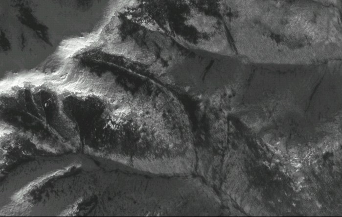
First group of scenes from the ZY3 satellite’s image data
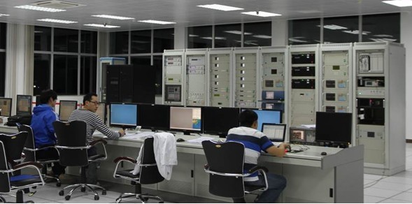
Data receiving system at Miyun Station
Data receiving system at Sanya Station
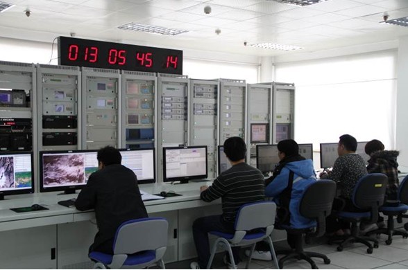
Data receiving system at Kashgar Station
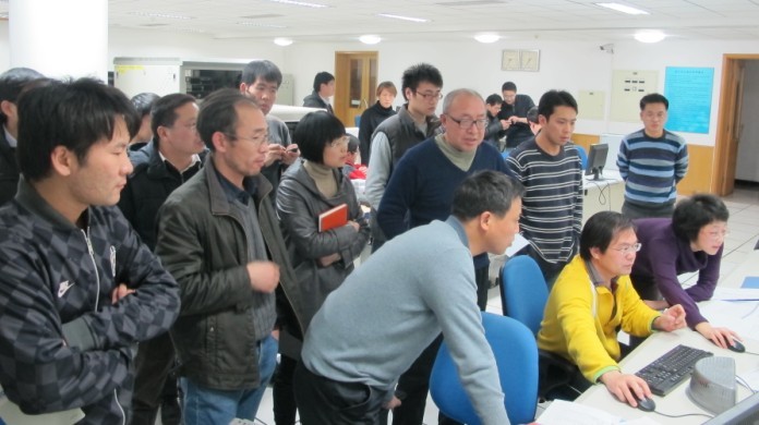
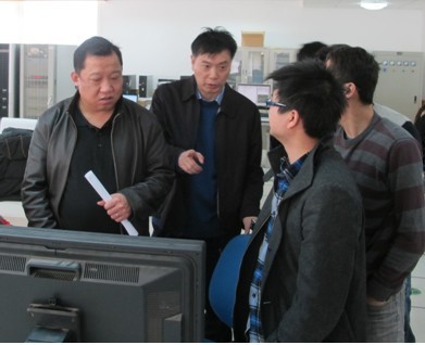
Satellite Surveying and Mapping Application Center officials view the data receiving system at Miyun Station
|